one step ahead
Maps, data, consulting and user-friendly software for municipalities, environmental agencies and companies. Since 2002.
See the applicationsServices- since 2002
- 19 customers
- 58 partners from 16 countries
- 14 heavy-rain hazard maps
Applications
A selection of what we have built.
carmaTwin
carmaTwin is our software for digital twins. It carries over easily to other places: cities, districts and regions. Industrial sites, ports and airports are possible uses too.
Together with the City of Wuppertal we are building the DigiTal Zwilling Wuppertal, a carmaTwin made from the city's geodata, administrative data and 3D models. It has three levels.
The Geoportal is the general-purpose twin. It shows the city in 2D and 3D, with oblique aerial images, measuring tools and printing. Anyone who combines map layers into a collection of their own can share it as a link.
Thematic twins (Fachzwillinge) show the city through one topic, with the map layers, views and workflows that topic needs. We are building eight of them with the city:
 Kommunale Planung
 Nachhaltige Stadtentwicklung
 Klimawandel und Anpassung
 Zukunftsfähige Mobilität
 Urbane Resilienz
 Parks und Grünanlagen
 Grund und Boden
 Gesundheit
Task twins (Teilzwillinge) are built for exactly one job, and their interface shows only what that job needs. Two of them are for recording data on site: tree management, which works without a network connection and syncs its data later, and vacant shop tracking. All the others are topic maps:

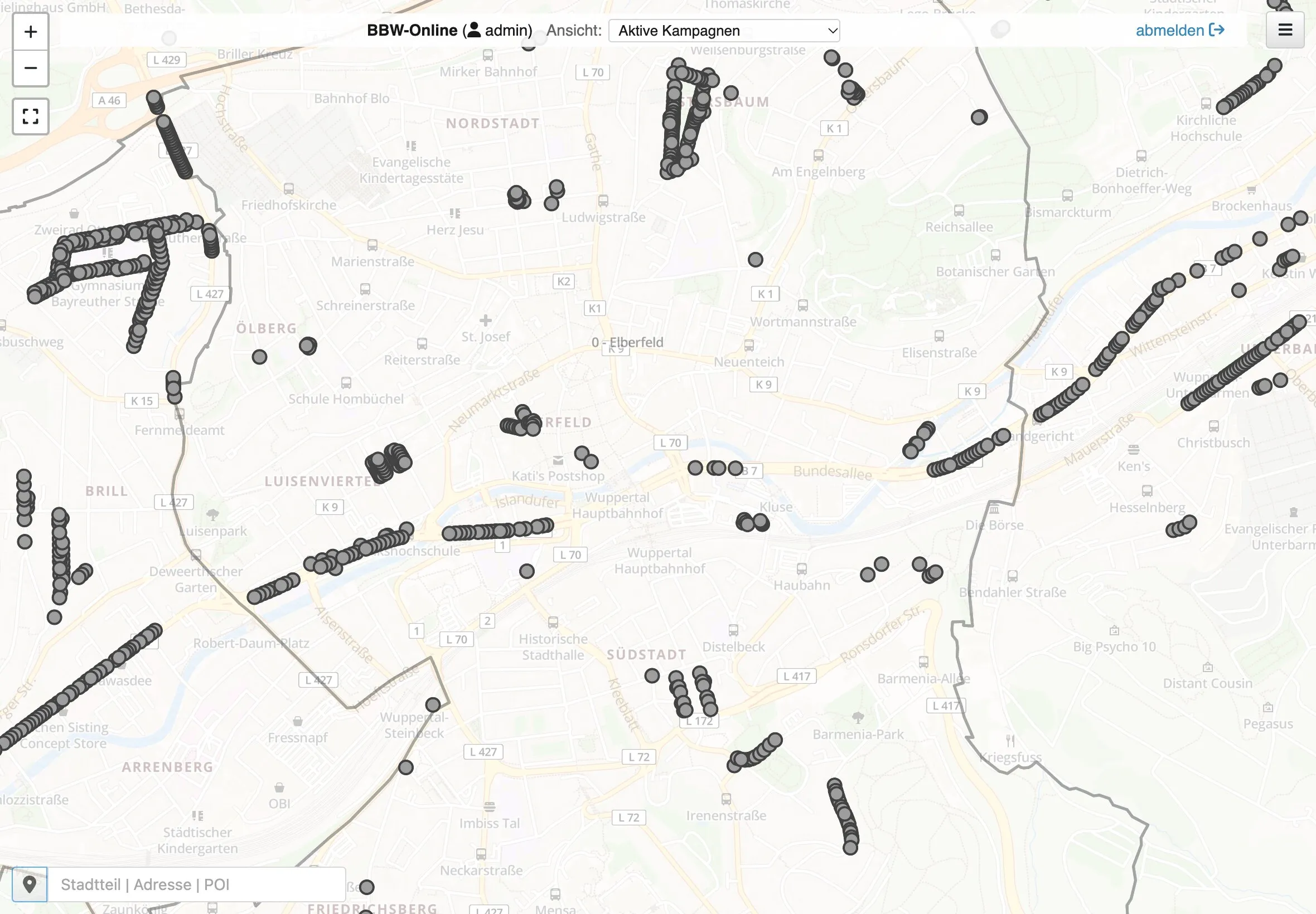
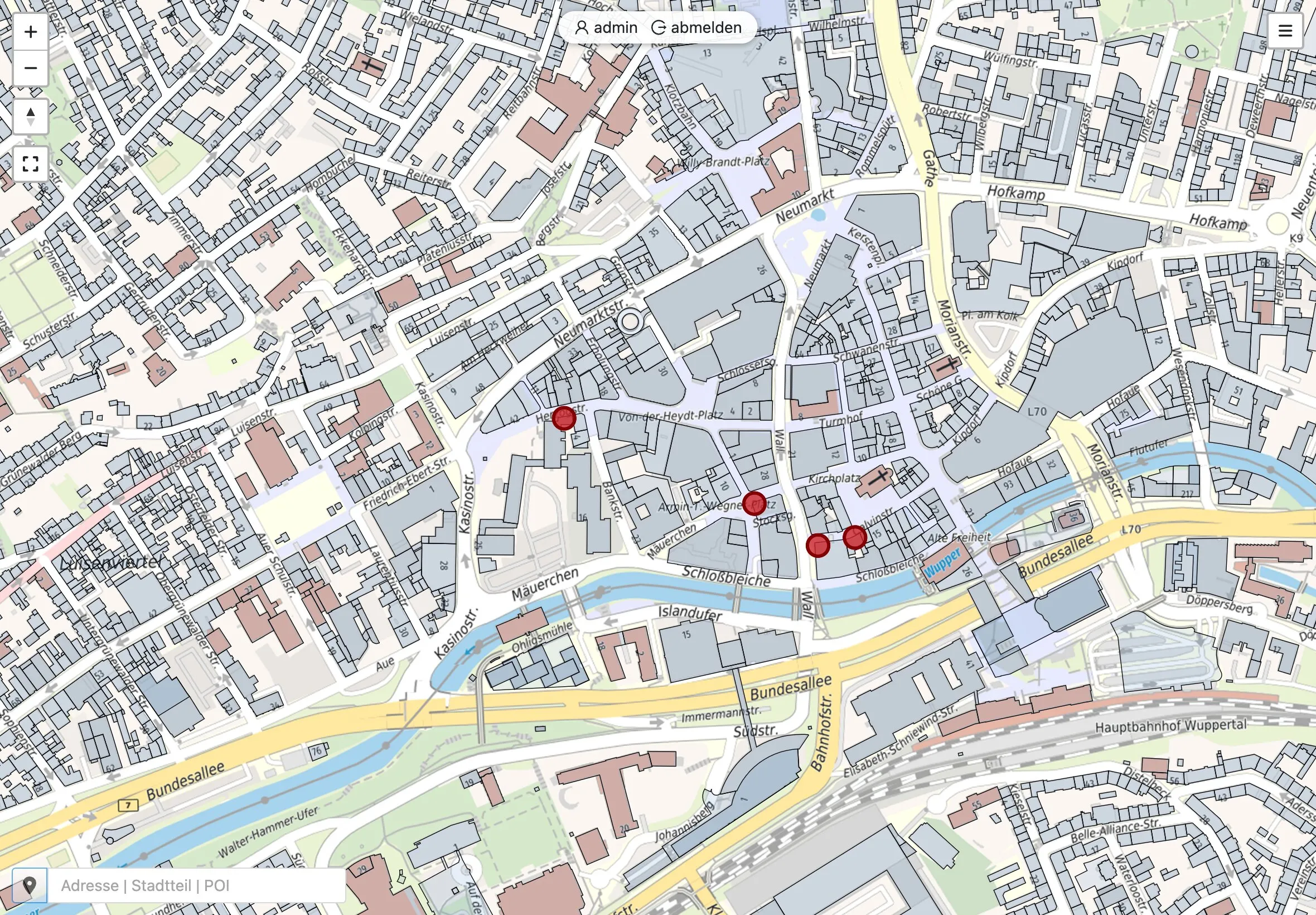
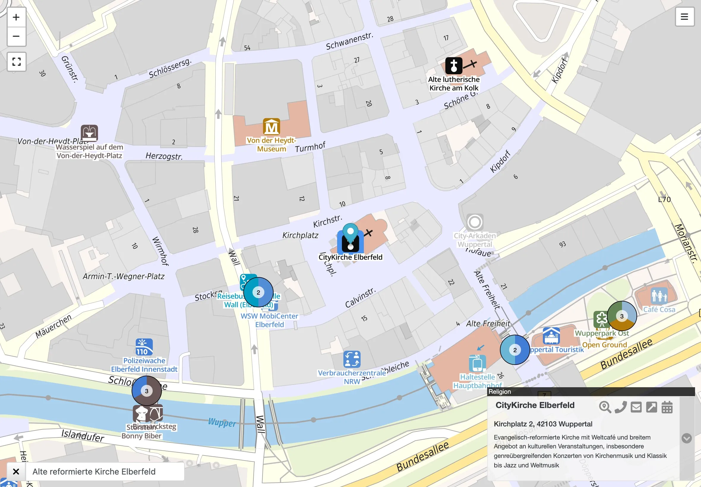
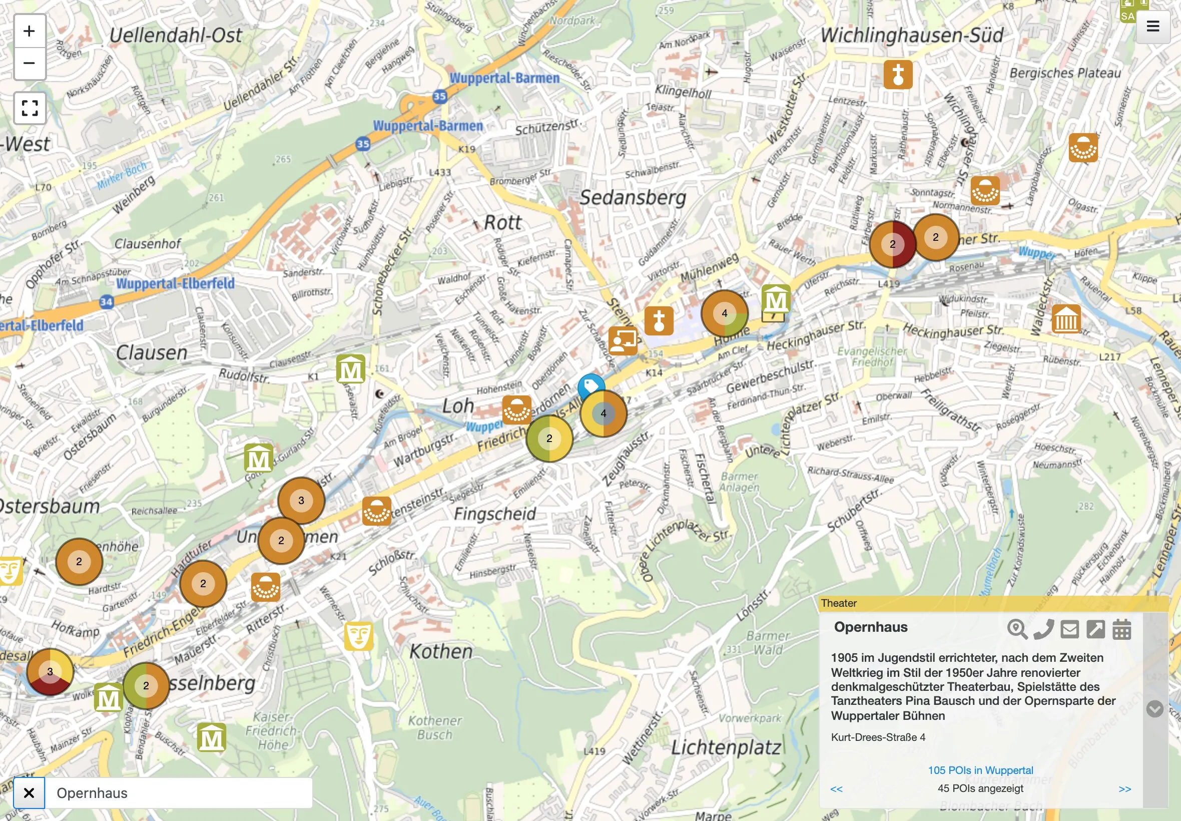
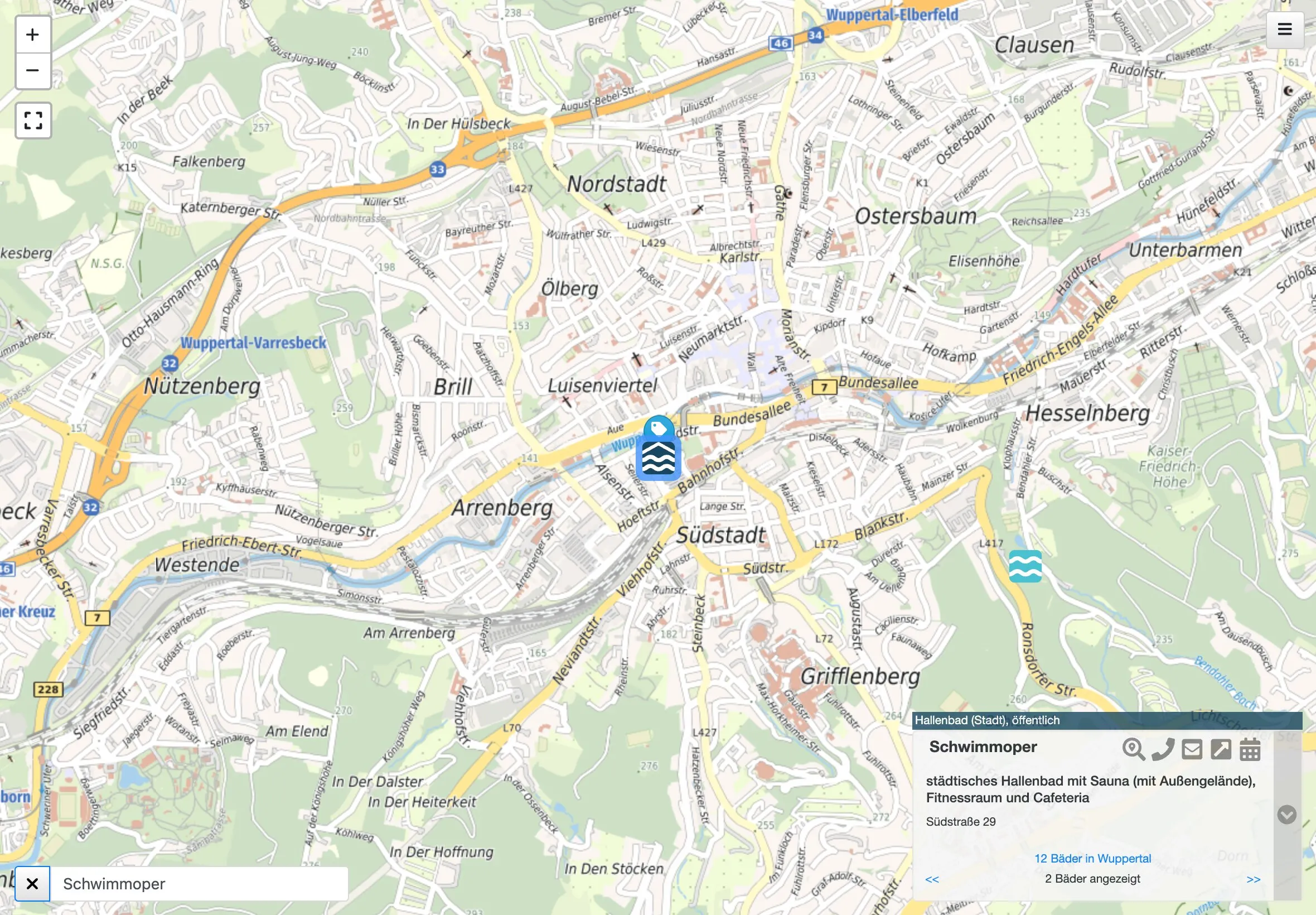
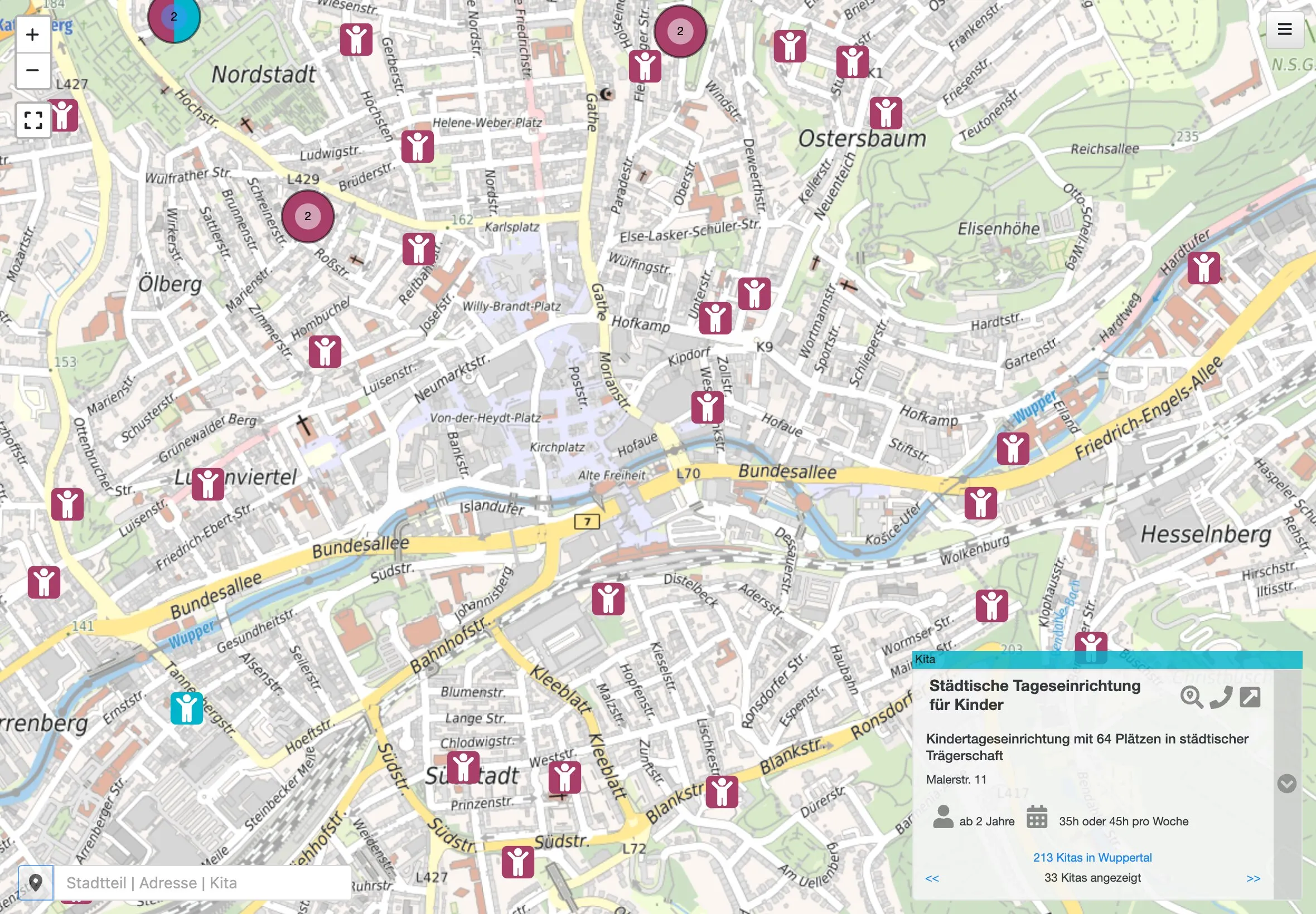
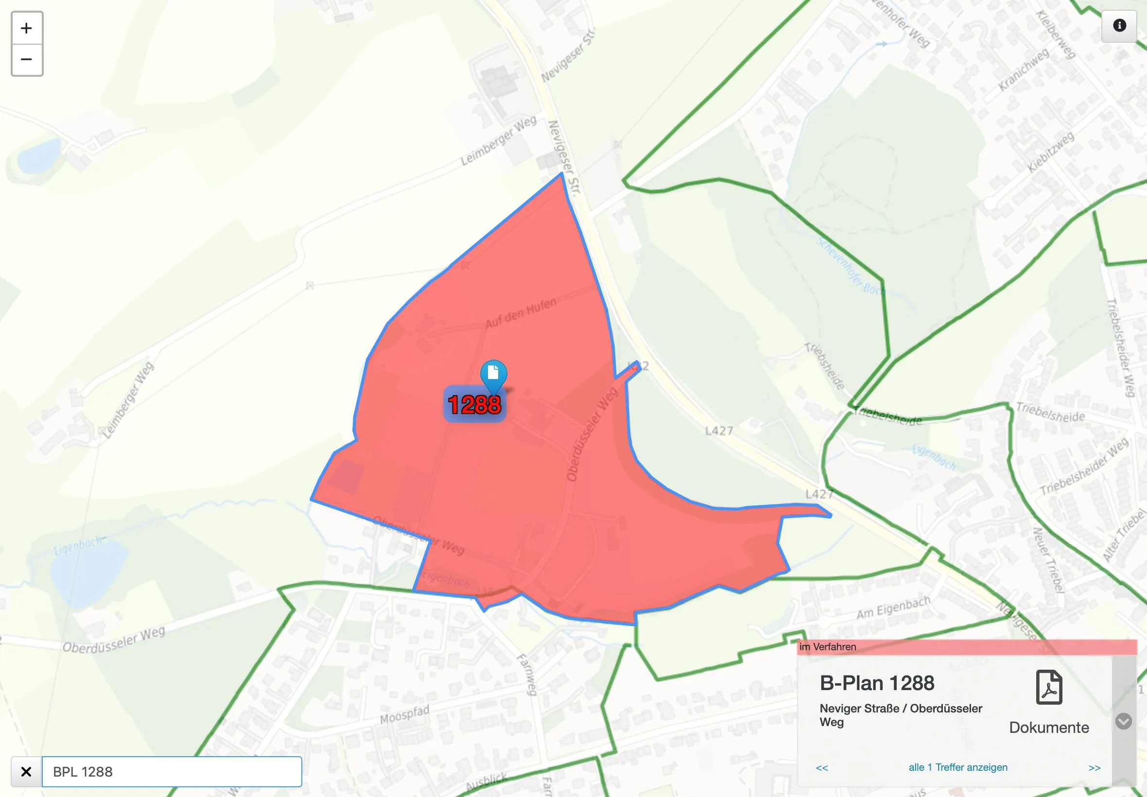
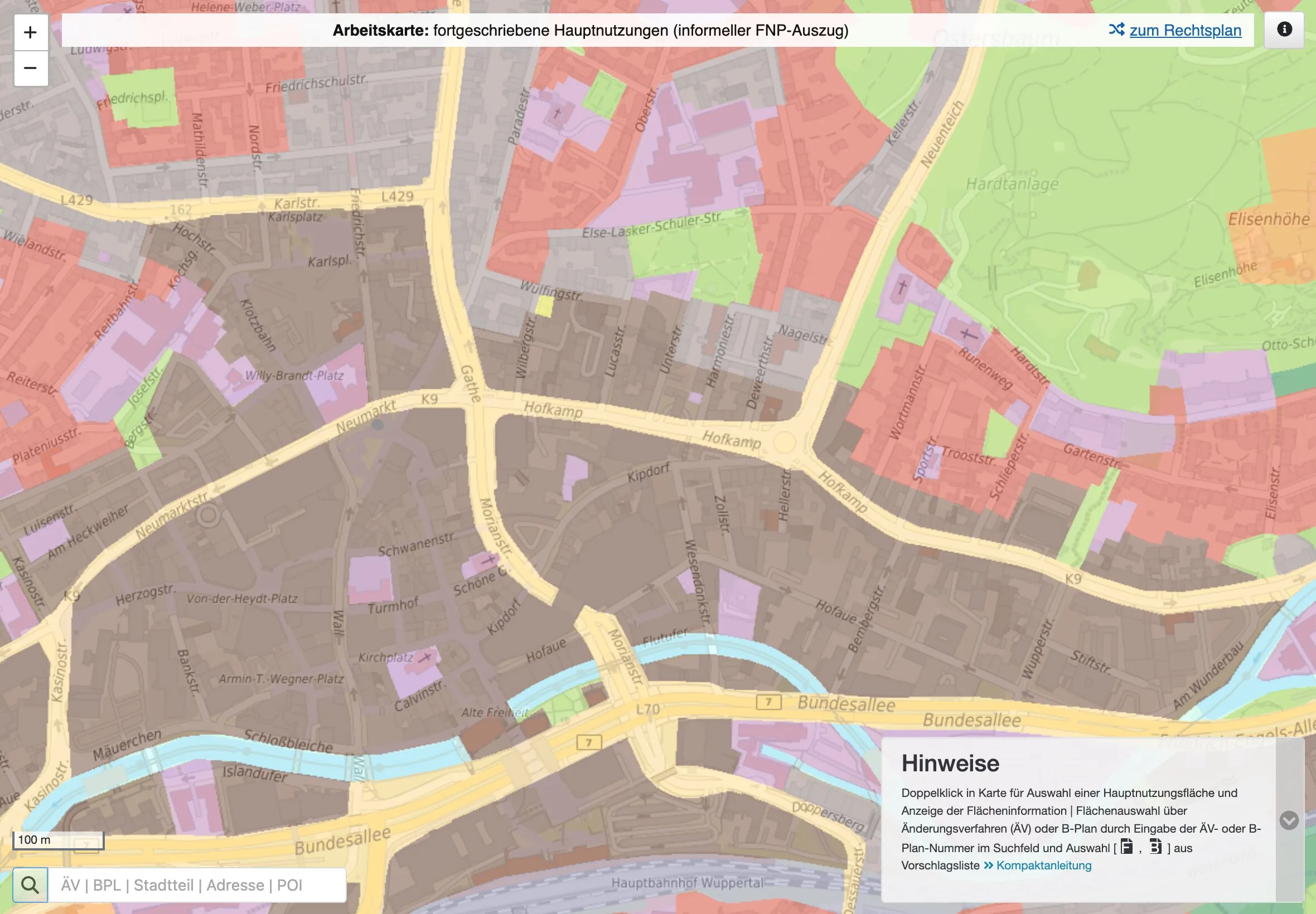
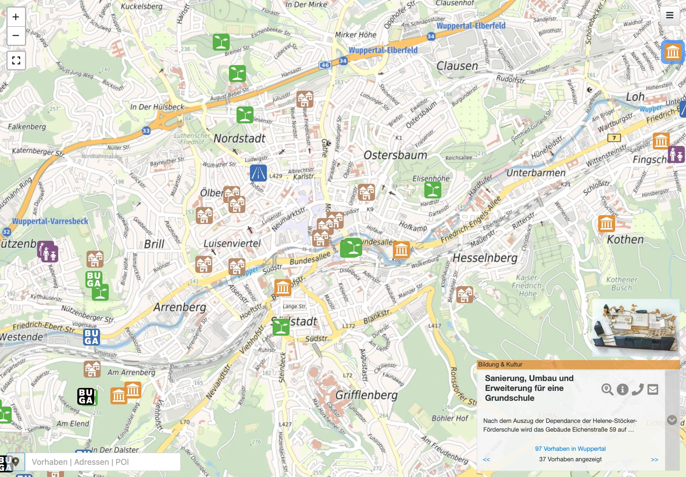
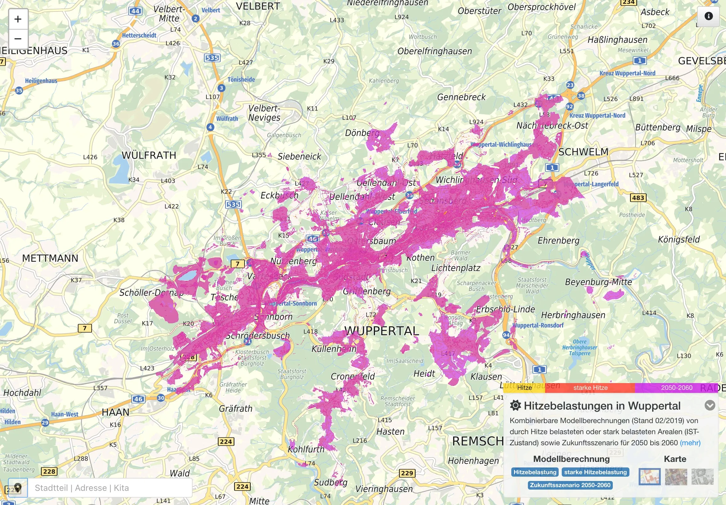
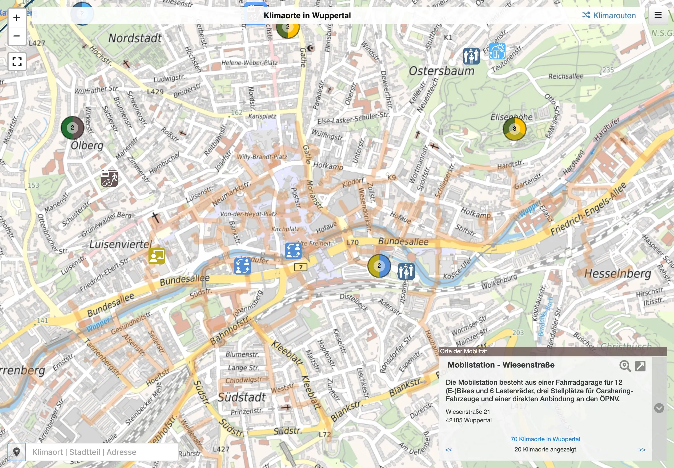
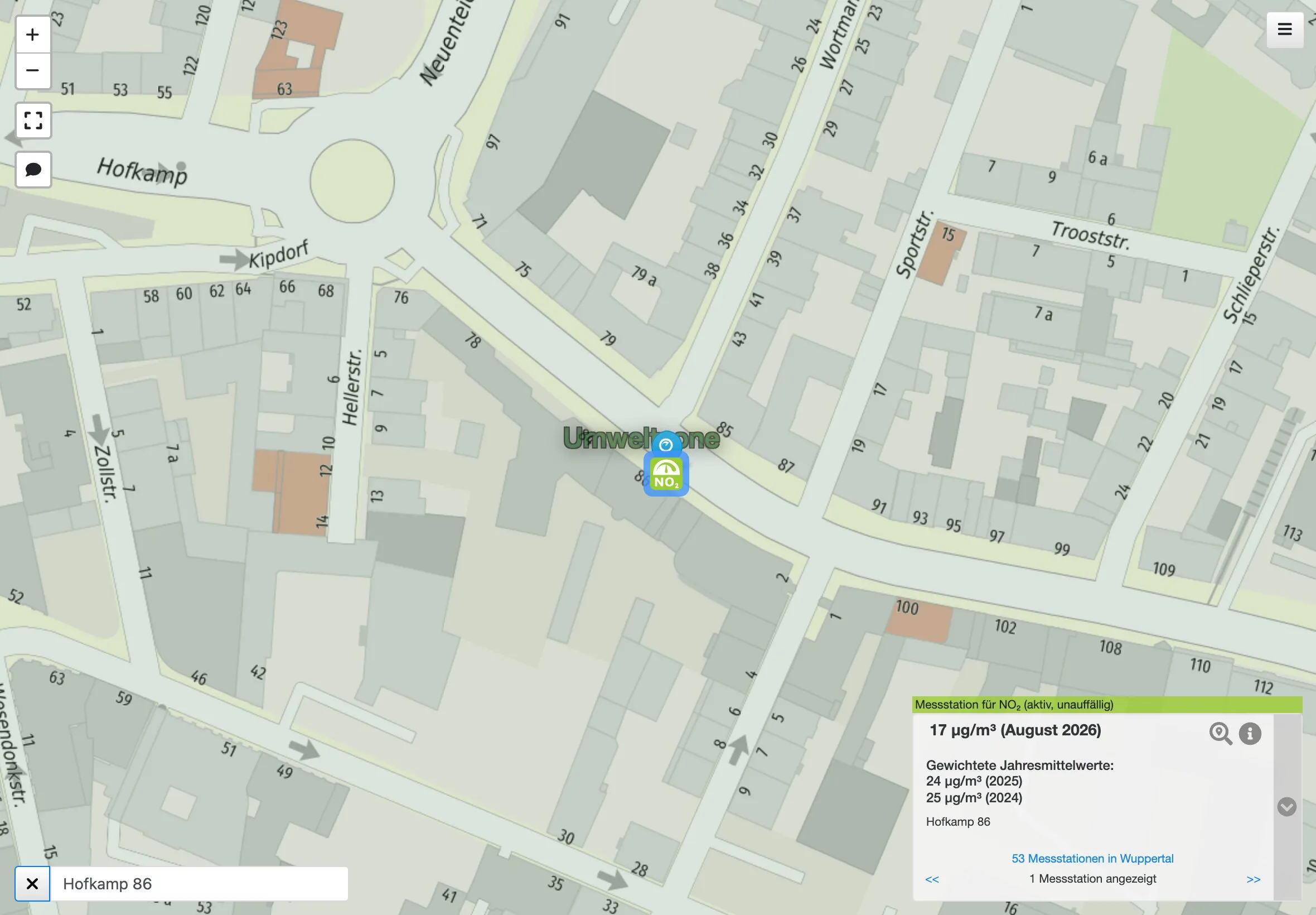
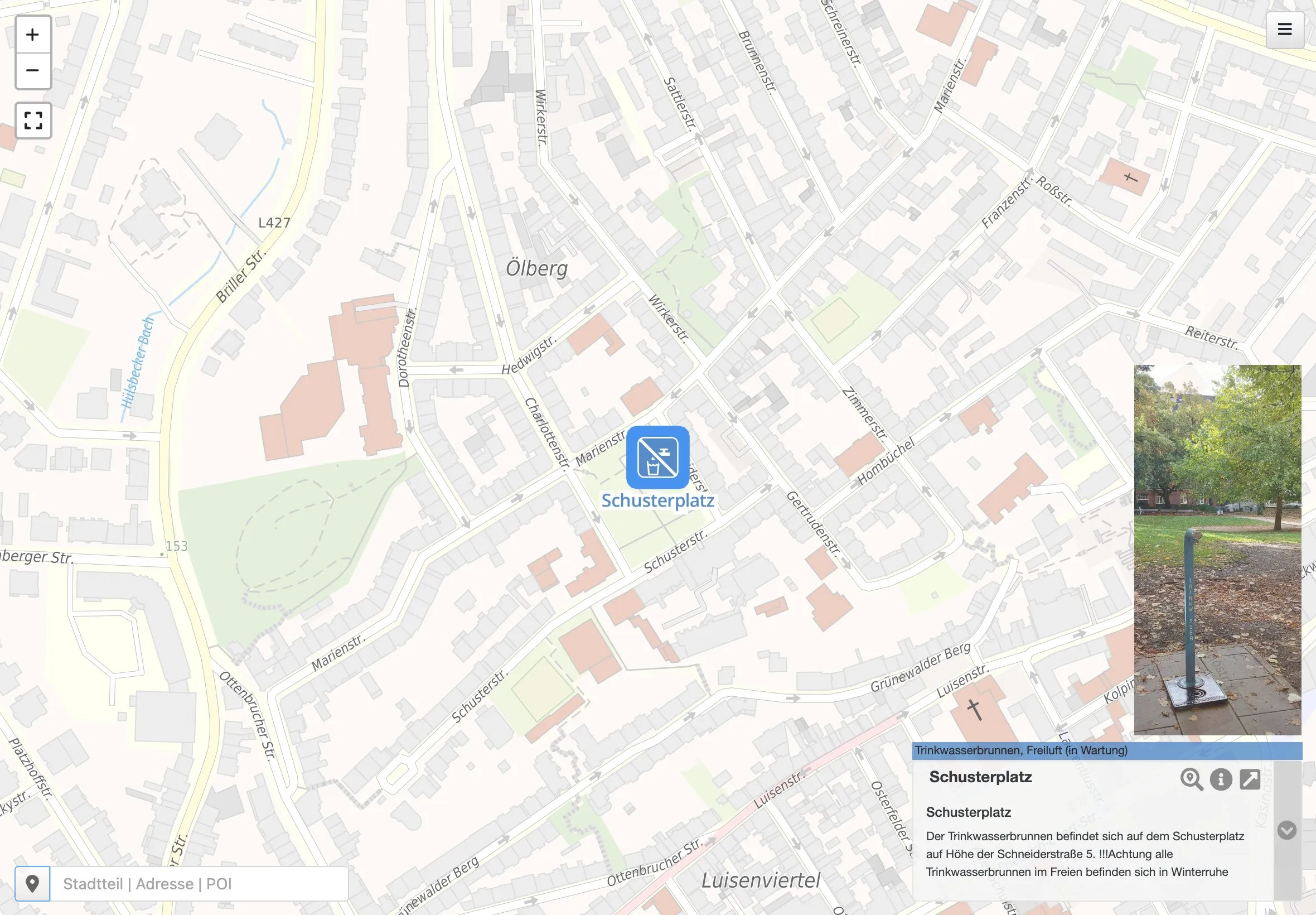
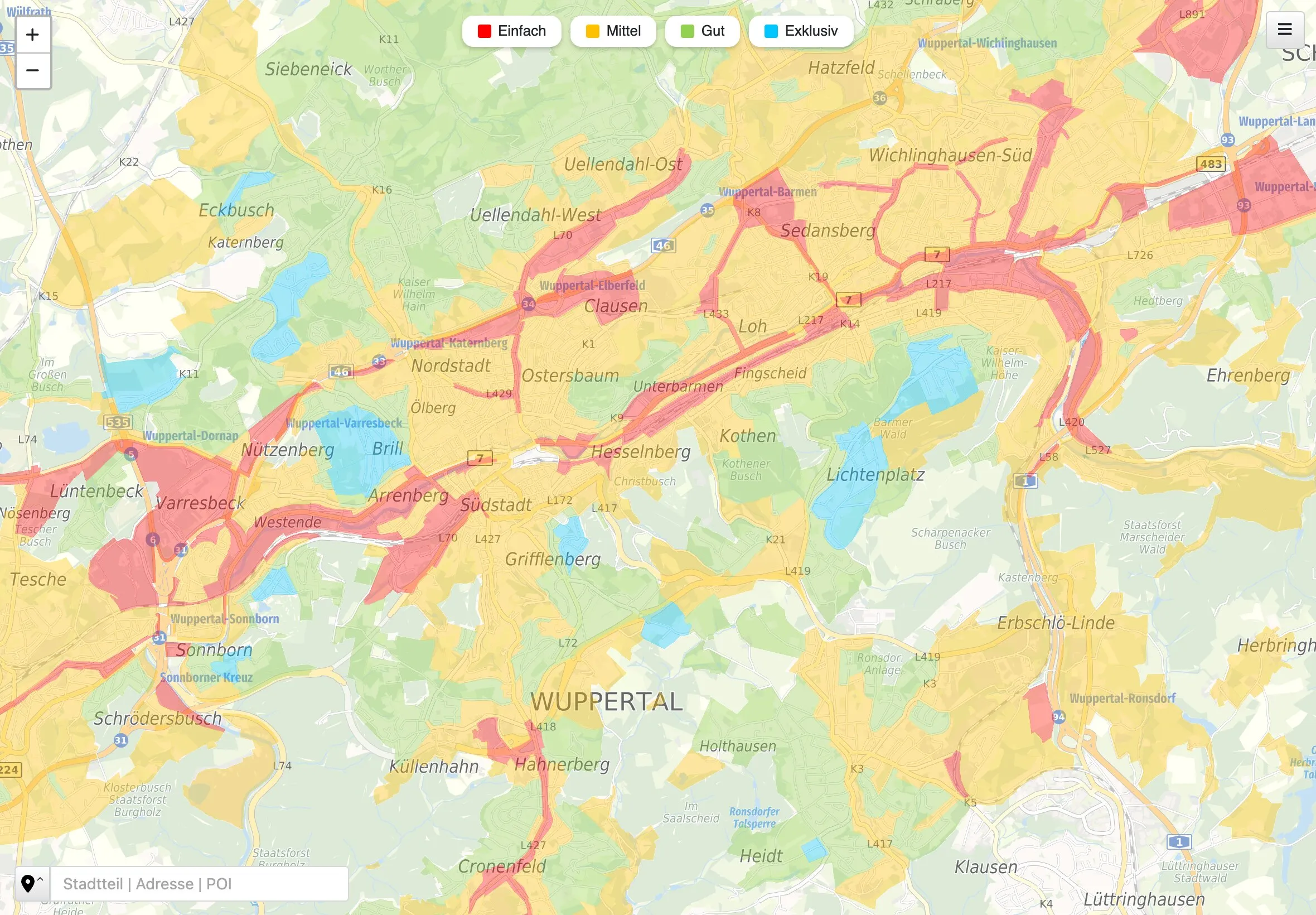
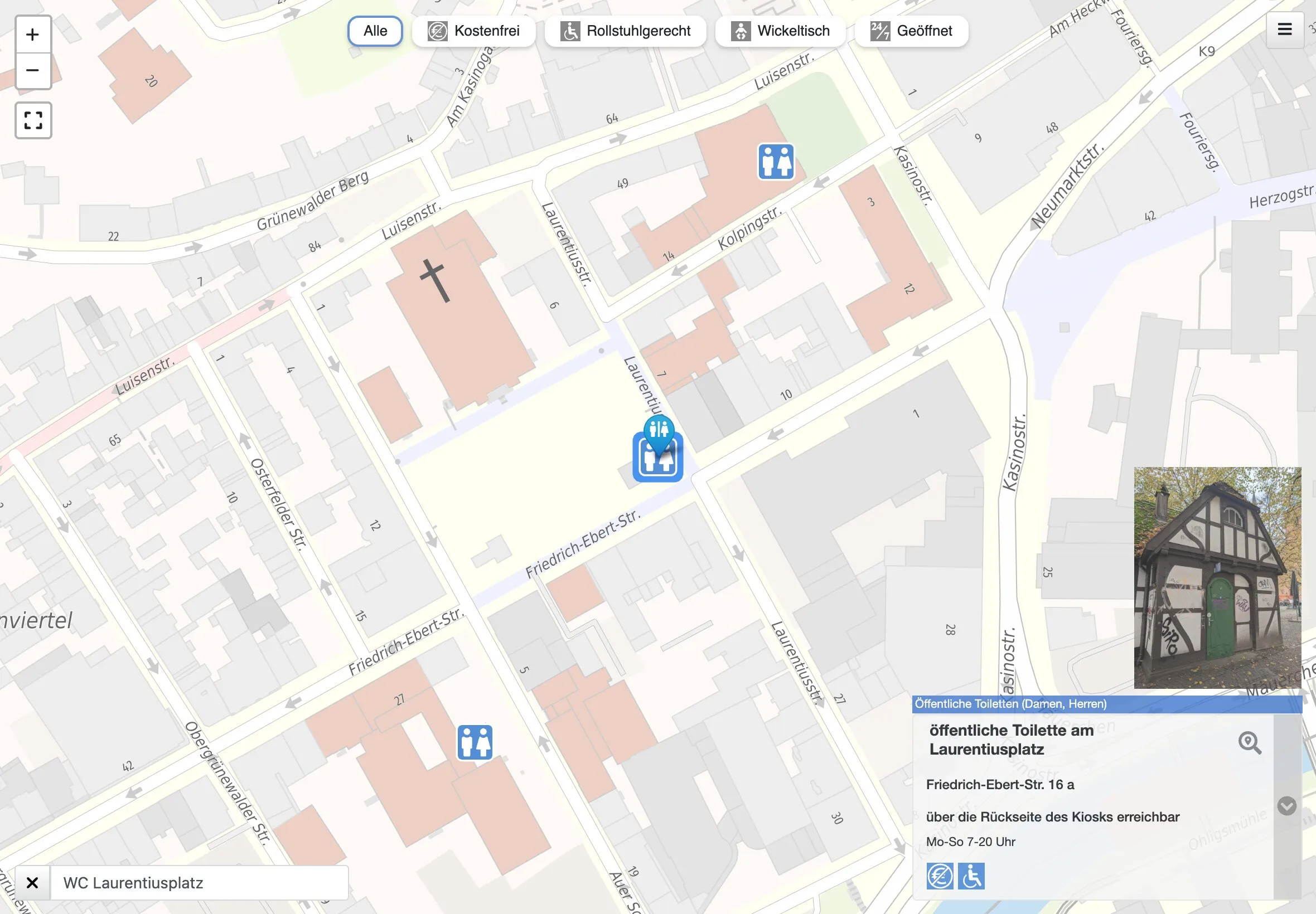
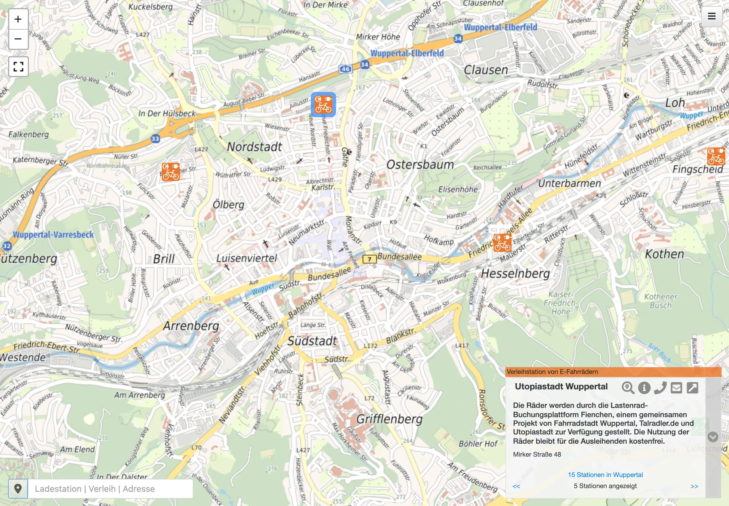
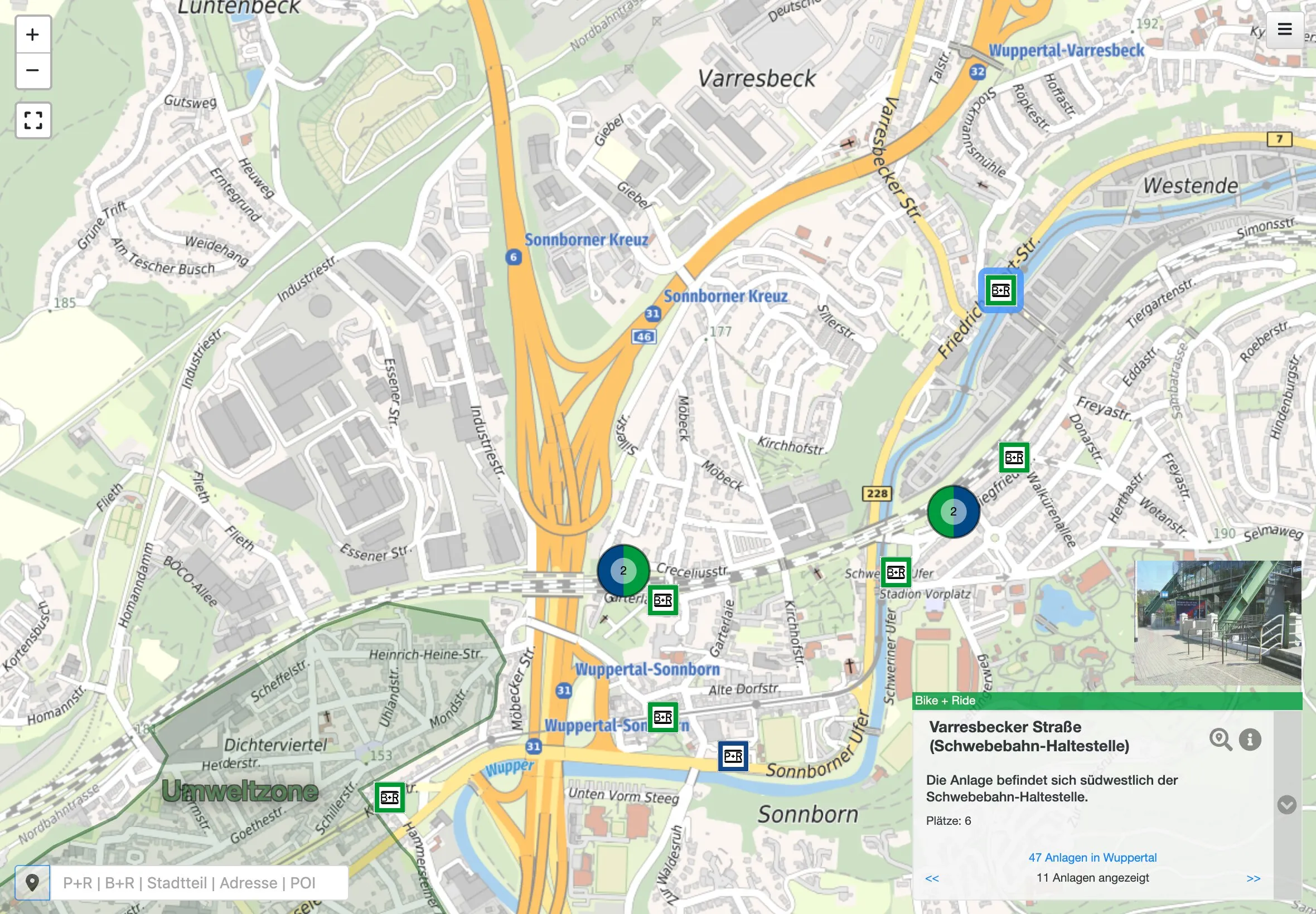
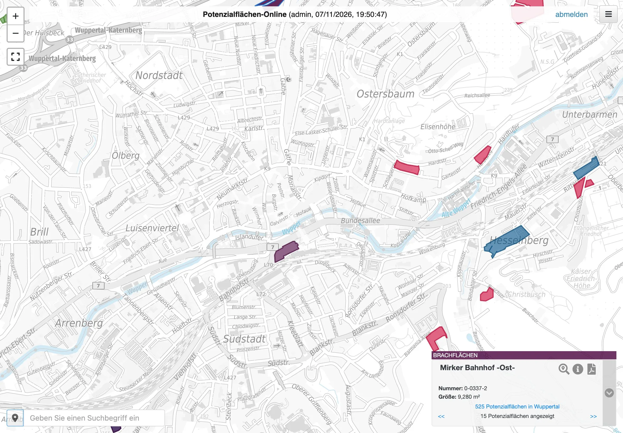
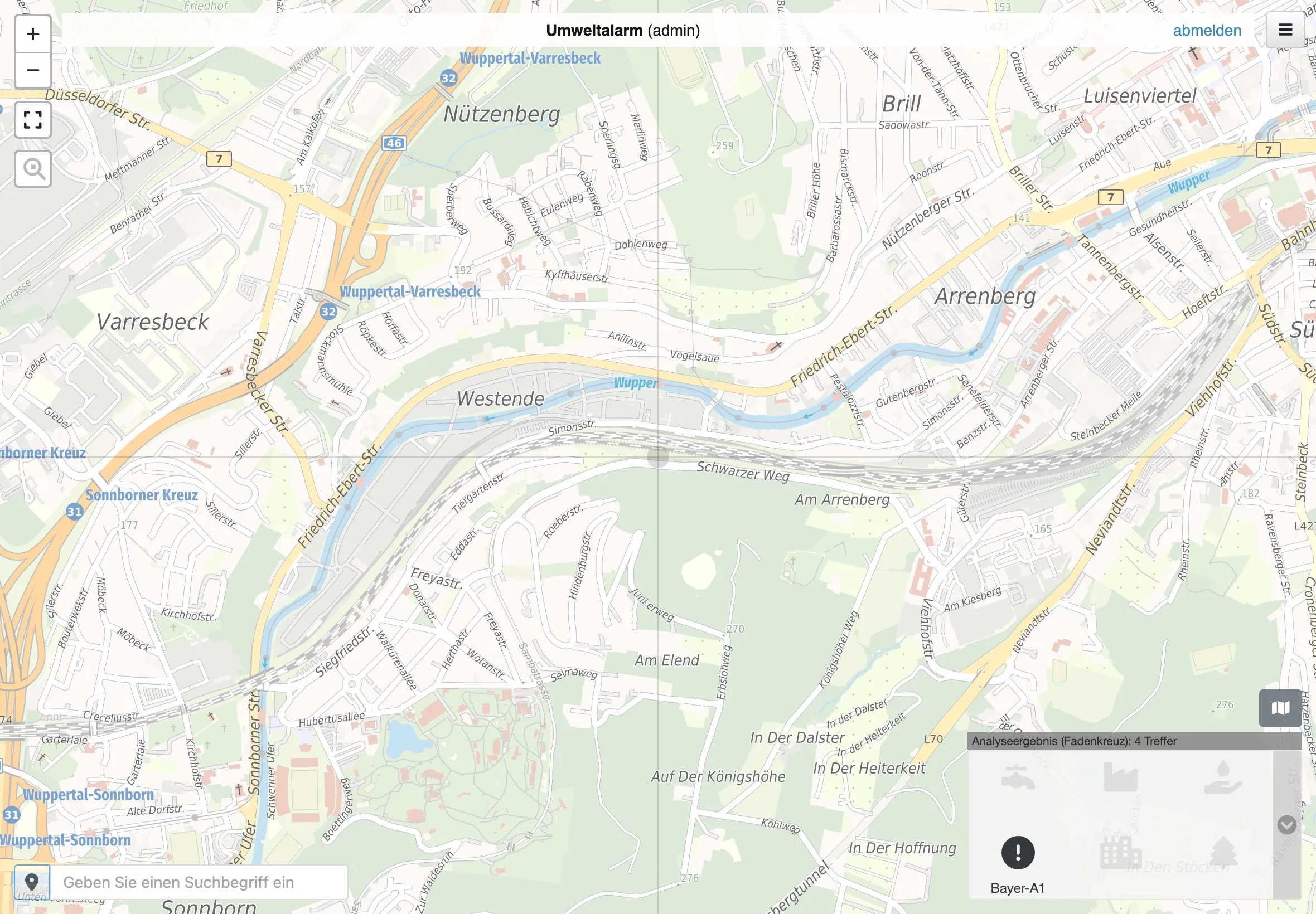
All of these run on the same code base, carma. The Geoportal and the topic maps are open to anyone in a browser; only Potenzialflächen-Online and Umweltalarm need a login.
Envirometrics maps
Envirometrics maps make visible what mathematical models compute for environmental phenomena, such as heavy rain and floods.
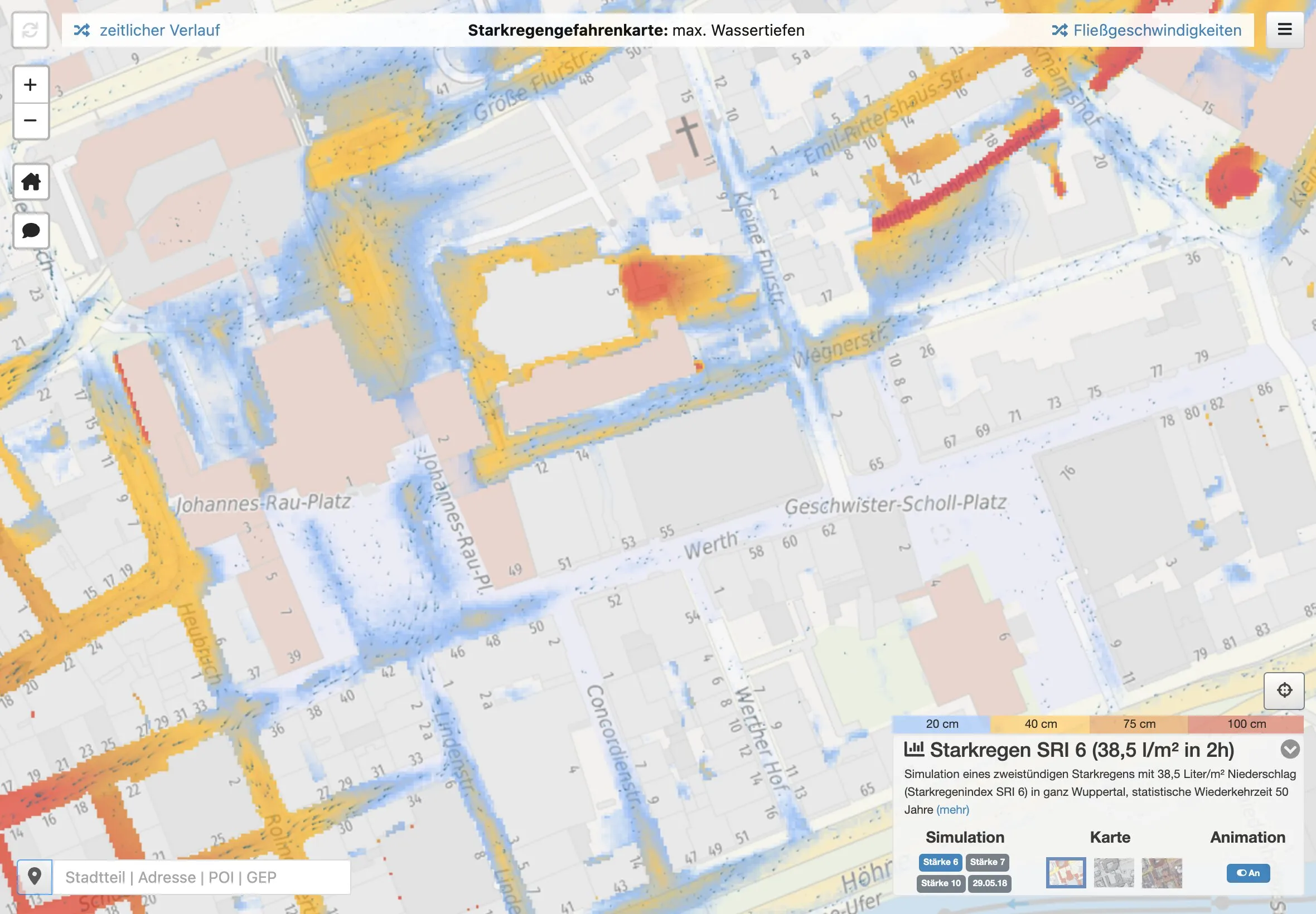
Heavy-rain hazard maps show where water collects during intense rainfall, how deep it gets and where it flows. We have built them for 14 towns, municipalities and districts: in North Rhine-Westphalia for Emsdetten, Haltern am See, Hürth, Korschenbroich, Meschede, Olpe, Paderborn, Werl, Xanten, Wuppertal, the district of Euskirchen and the district of Mettmann with its ten towns and municipalities, and in Saarland for Saarlouis and Tholey.
Some maps show real events: in Euskirchen you can follow the flood of 14 July 2021, in Wuppertal the cloudburst of 29 May 2018. In Hürth and Paderborn a rain event can be played back over time. In Tholey every building is rated by how much it is at risk.
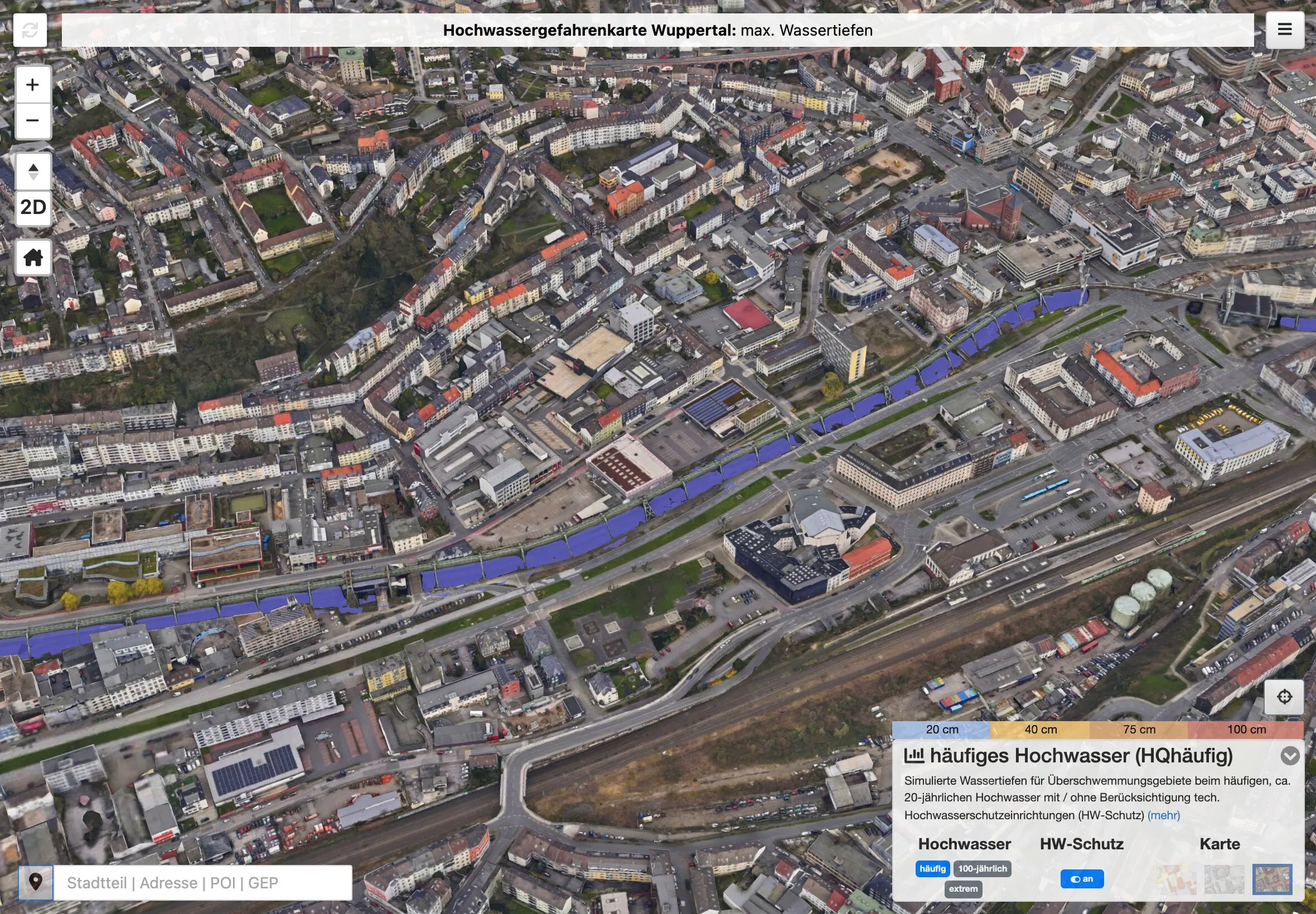
Wuppertal also has a river flood hazard map in 2D and 3D.
Wuppertal heavy-rain hazard mapWuppertal flood hazard mapProjection mapping
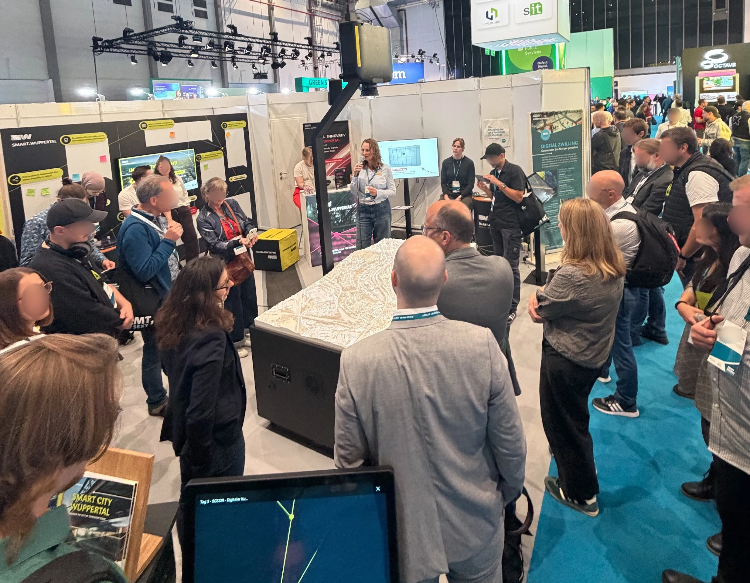
Projection mapping at the City of Wuppertal's stand at the Smart Country Convention, Berlin, October 2026 Moving spots of light pick out places on the model Shadows that move with the sun A flight over the model with the aerial image projected onto it Time travel through aerial images from different years
The digital twin also exists as something you can stand around. We project maps from the Geoportal onto a 3D-printed model of the city. Any map collection from the Geoportal can become a scene on the model, moving content included, such as the running Schwebebahn, Wuppertal's suspension railway.
We calibrate the projector, not the image. From a few points whose position is known both on the model and in the projector image, our software carmaPM works out the projector's position, orientation and optics, measured in millimetres on the model. Every piece of content is then rendered from exactly that viewpoint and lands in the right place, on roofs and facades too. When a building on the model is swapped, only the digital model needs updating; there is no recalibration.
The presenter controls the show from a phone or tablet in front of the model. carmaPM was built for the DigiTal Zwilling Wuppertal. In October 2026 we showed it at the Smart Country Convention in Berlin. Our video shows an early stage from 2023.
Specialist systems
We have worked for the City of Wuppertal since cismet was founded in 2002. WuNDa is even older than the company. BelIS, LagIS, VerDIS and WuNDa run as Java applications on our cids platform. Browser-based successors built with carma now exist alongside them.
- BelIS
- manages street lighting.
- LagIS
- manages the city's real estate and is connected to ALKIS, the official cadastre, and to document management.
- VerDIS
- records the sealed surfaces that wastewater fees are based on. Through VerDIS Online (wuppertal.regengeld.de) property owners can view their own surfaces.
- WuNDa
- is the city administration's data hub. It now includes apps of its own for potential development sites and environmental alerts.
For the State Agency for Environment, Nature Conservation and Geology of Mecklenburg-Vorpommern we have been developing state-wide systems for water management since 2011. They also run on cids and are still being developed.
- FIS Wasser
- is the specialist information system for implementing the EU Water Framework Directive.
- GUP
- is the state-wide watercourse maintenance planning.
- FGSK
- is river structure mapping, a module within FIS Wasser.
- DLM25W
- holds the state-wide water network; we have worked on it since 2013.
Platform
Our web applications are built on carma. What is not open source yet lives in cage.
carma
carma is our platform for map applications in the browser. Every application on this page is built on it. carma is open source under the MIT licence and public on GitHub, as a monorepo: it holds all our frameworks and also the customer projects built on them. Anyone using carma pays no licence fees and can read the code at any time.
What carma includes:
- 2D and 3D maps with MapLibre and three.js
- search that tolerates typos
- measuring, annotations, routing and printing
- sun position and shadows in the 3D city model
- remote control of a map display from a second device
- offline work with later sync for field apps
- login and permissions
- links that restore exactly the current map view
- customer-specific extensions as separate modules, open source as well
cage
cage (carma Add-ons, Gated Edition) holds extensions to carma that are not open source yet. Our customers can use them in their applications. carma runs without them: where a module is missing, a simpler solution takes over or the feature is left out.
cage currently contains:
- carmaPM
- the projection mapping software
- pm-tools
- which turn the print files of a city model into a georeferenced twin for carmaPM
- carmaPlan
- software for low-poly visualisations of planned states that fit straight into carma; it also embeds planned scenarios in a photorealistic mesh
- FlowFieldParticles
- an animation that shows where the water flows in heavy-rain maps and can show air currents just as well
- WmsBlend
- smooth transitions between the time steps of a map, for example when a rain event is played back
A module stays in the cage until it is "set free", that is, until the days its development took have been settled. Several customers can share that cost. Once a module is "set free", it moves into carma and is published under the MIT licence. Our customers can use cage modules free of charge.
Services
What we take on for our customers.
Company
cismet was founded in 2002. Our registered office is in Tholey, Saarland, and we work remotely.
Customers and partners
Most of our customers are cities, municipalities and districts in North Rhine-Westphalia and Saarland. They also include the State Agency for Environment, Nature Conservation and Geology of Mecklenburg-Vorpommern, the Environment Agency Austria in Vienna and, furthest away, the Bureau of Meteorology in Melbourne. Companies are among them too: SPIE (formerly SAG) hired us for work in Wuppertal, and we gave technical advice to tec4U in Saarbrücken, a technology supplier to the automotive industry.
The partners on the map are from the EU research projects SUDPLAN, TaToo, CRISMA, SWITCH-ON and CLARITY: research institutes, universities, companies and city administrations from 16 countries.
- Customers (19)
- Partners from EU research projects (58)
All places as a list
Customers
- SPIE (formerly SAG), DüsseldorfConsulting, development and deployment support for Wuppertal
- City of Emsdetten, EmsdettenHeavy-rain hazard map
- District of Euskirchen, EuskirchenHeavy-rain hazard map
- State Agency for Environment, Nature Conservation and Geology of Mecklenburg-Vorpommern, GüstrowFIS Wasser, watercourse maintenance, river structure mapping, DLM25W
- City of Haltern am See, Haltern am SeeHeavy-rain hazard map
- City of Hürth, HürthHeavy-rain hazard map
- City of Korschenbroich, KorschenbroichHeavy-rain hazard map
- Bureau of Meteorology, Melbourne, AustraliaArchitecture consulting for AWRIS
- City of Meschede, MeschedeHeavy-rain hazard map
- District of Mettmann, MettmannHeavy-rain hazard map
- City of Olpe, OlpeHeavy-rain hazard map
- City of Paderborn, PaderbornHeavy-rain hazard map
- tec4U, SaarbrückenTechnology consulting
- City of Saarlouis, SaarlouisHeavy-rain hazard map
- Municipality of Tholey, TholeyHeavy-rain hazard map
- Environment Agency Austria, Vienna, AustriaPrototype for integrating environmental data in the UIM2020 project
- City of Werl, WerlHeavy-rain hazard map
- City of Wuppertal, WuppertalDigiTal Zwilling, specialist systems, heavy-rain and flood hazard maps
- City of Xanten, XantenHeavy-rain hazard map
Partners from EU research projects
- Deutsches Rotes Kreuz EV, BerlinCRISMA
- Ecologic Institut gemeinnutzige GmbH, BerlinSWITCH-ON
- Deutsches Forschungszentrum fur Kunstliche Intelligenz GmbH, KaiserslauternSUDPLAN
- Fraunhofer Gesellschaft zur Forderung der angewandten Forschung EV, MunichCRISMA
- Airbus Defence and Space GmbH, TaufkirchenCRISMA
- Stadt Wuppertal, Der Oberbuergermeister, WuppertalSUDPLAN
- Dipl.-Ing. Günter Humer GmbH, Geboltskirchen, AustriaSWITCH-ON
- Technische Universitaet Graz, Graz, AustriaSUDPLAN
- Stadt Linz, Linz, AustriaCLARITY
- AIT Austrian Institute of Technology GmbH, Vienna, AustriaSUDPLAN, TaToo, CRISMA, CLARITY
- Smart Cities Consulting GmbH, Vienna, AustriaCLARITY
- Technische Universitaet Wien, Vienna, AustriaSWITCH-ON
- Zentralanstalt fuer Meteorologie und Geodynamik, Vienna, AustriaCLARITY
- JRC -Joint Research Centre- European Commission, Brussels, BelgiumTaToo
- Public Safety Communication Europe Forum AISBL, Brussels, BelgiumCRISMA
- Spacebel SA, Liège, BelgiumCRISMA
- Masarykova univerzita, Brno, CzechiaTaToo
- CENIA,CESKA INFORMACNI AGENTURA ZIVOTNIHO PROSTREDI, Prague, CzechiaSUDPLAN
- Tallinna Tehnikaülikool, Tallinn, EstoniaCRISMA
- Teknologian tutkimuskeskus VTT Oy, Espoo, FinlandCRISMA
- Ilmatieteen laitos, Helsinki, FinlandCRISMA
- Pelastusopisto, Kuopio, FinlandCRISMA
- Insta Advance Oy, Tampere, FinlandCRISMA
- Artelia Eau et Environnement SAS, Échirolles, FranceCRISMA
- EMVIS SYMVOULOI MICHANIKOI ANONYMI ETAIREIA, Agia Paraskevi, GreeceSWITCH-ON
- Magen David Adom in Israel, Or Jehuda, IsraelCRISMA
- NICE Systems Ltd, Ra’anana, IsraelCRISMA
- EUREKA COMUNICAZIONE TELEMATICA SRL, Benevento, ItalyCLARITY
- Alma Mater Studiorum - Universita di Bologna, Bologna, ItalySWITCH-ON
- ELSAG DATAMAT S.P.A., Genoa, ItalyTaToo
- Fondazione Eni Enrico Mattei, Milan, ItalySWITCH-ON
- AMRA - ANALISI E MONITORAGGIO DEL RISCHIO AMBIENTALE SCARL, Naples, ItalyCRISMA
- Comune di Napoli, Naples, ItalyCLARITY
- Universita degli Studi di Napoli Federico II, Naples, ItalyCLARITY
- GECOSISTEMA SRL, Rimini, ItalySWITCH-ON
- Telespazio SpA, Rome, ItalyTaToo
- Stichting Deltares, Delft, NetherlandsSWITCH-ON
- Technische Universiteit Delft, Delft, NetherlandsSWITCH-ON
- HKV LIJN IN WATER BV, Lelystad, NetherlandsSWITCH-ON
- Associacao para o Desenvolvimento da Aerodinamica Industrial, Coimbra, PortugalCRISMA
- Acciona Construccion SA, Madrid, SpainCLARITY
- Agencia Estatal de Meteorologia, Madrid, SpainCLARITY
- Atos IT Solutions and Services Iberia SL, Madrid, SpainCLARITY
- Atos Spain SA, Madrid, SpainTaToo, CLARITY
- Centro de Estudios y Experimentacion de Obras Publicas, Madrid, SpainCLARITY
- Farisa Asesores y Consultores SL, Madrid, SpainCLARITY
- Ingenieria Especializada Obra Civil e Industrial SA, Madrid, SpainCLARITY
- METEOGRID SL, Madrid, SpainCLARITY
- Lansstyrelsen i Jonkopings lan, Jönköping, SwedenCLARITY
- Apertum IT AB, Linköping, SwedenSUDPLAN
- Linkopings universitet, Linköping, SwedenSWITCH-ON
- Sveriges meteorologiska och hydrologiska institut, Norrköping, SwedenSUDPLAN, SWITCH-ON, CLARITY
- Stockholms och Uppsala lans luftvardsforbund ideell forening, Stockholm, SwedenSUDPLAN
- Stockholms stad, Stockholm, SwedenCLARITY
- WSP Sverige AB, Stockholm, SwedenCLARITY
- Scuola universitaria professionale della Svizzera italiana, Manno, SwitzerlandTaToo
- University of Bristol, Bristol, United KingdomSWITCH-ON
- Jeremy Benn Associates Limited, Skipton, United KingdomSWITCH-ON
Team
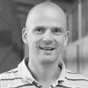 Thorsten HellM.Sc., Saarland Universityowner and CEO
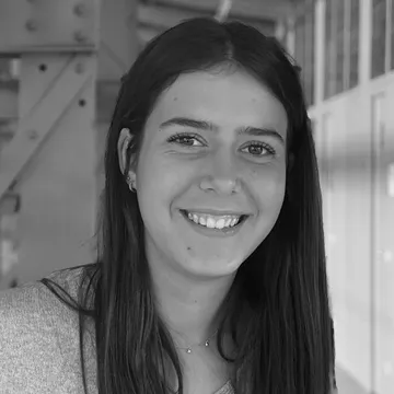 Paula Hellexecutive assistant
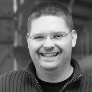 Sascha SchlobinskiM.Sc., Saarland Universityco-founder
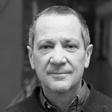 Prof. Dr. Reiner Güttler✝ 1 June 2021mentor and scientific counsel. Forever part of our team.
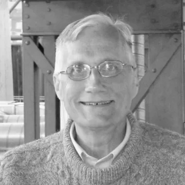 Professor Steven P. Frysinger, Ph.D.James Madison University, Harrisonburg, Virginia, USAconsultant in our EU research projects
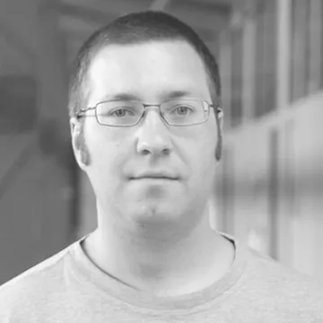 Thorsten HerterM.Sc., HTW des Saarlandessoftware development
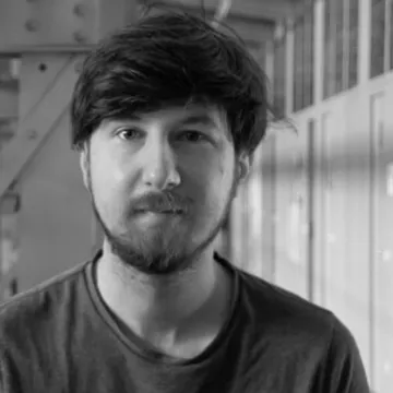 David Glogazasoftware development
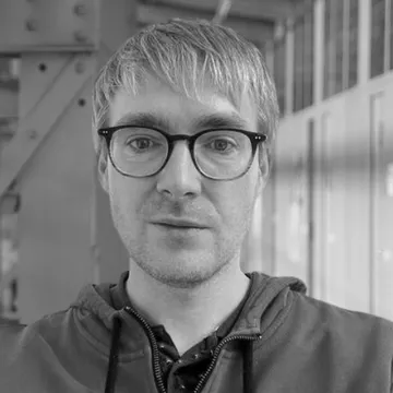 Pavel Olkhovoisoftware development
Jobs
We are looking for people who like to program and are curious about technology: students, graduates and self-taught developers from computer science, geoinformatics or GIS.
We have been a fully remote company since long before the pandemic. Nobody works alone, though; video calls and screen sharing are part of every day.
If you want to apply together with a friend, you are welcome to. Where it fits, you will then work on projects together.
We offer student assistant and working student positions (10 to 20 hours a week) and full-time positions, with part-time possible, for IT specialists, university graduates and self-taught developers.
We work with React, TypeScript, MapLibre, three.js, Java, PostgreSQL/PostGIS, GraphQL and Docker. You can see what our code looks like in carma on GitHub.
Applying is simple: send a short email to jobs@cismet.de and we will get back to you.
Email jobs@cismet.de